Lansing, Iowa
2001 Flood
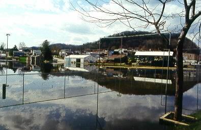
No ball games at Lansing for a while.
Lansing, Iowa2001 Flood |
No ball games at Lansing for a while. |
The town of Lansing, Iowa climbs the bluffs along the Mississippi. Downtown Lansing has many old stone buildings, and has changed very little in appearance over the years.
Flood crest 19.93 feet, Saturday, April 21, 2001 (second highest on record).
River at about 18.8 feet on April 24, when these photos were taken.
Damage: Possible damage to homes on South Front Street. Water was up to foundations of homes here at the crest. Most of Lansing is on high ground and escaped damage.
All photos on this page copyright © Alan and Mary Ann Draves.
| Homes on North Front Street were high enough to escape damage. | 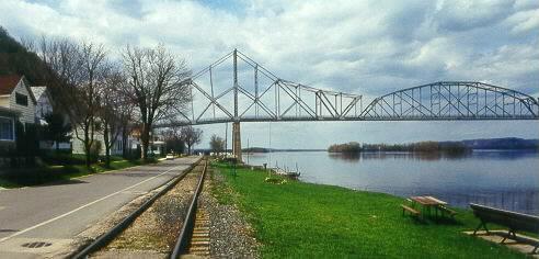
|
|
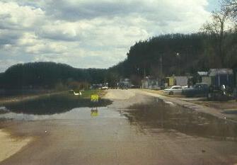
One of two places where water crossed South Front Street. Yellow sign reads "Slow No Wake". |
| More water on South Front Street. | 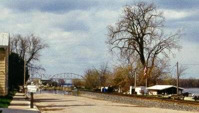
|
|
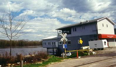
Sweeneys on the River was built high enough to survive the flood. |
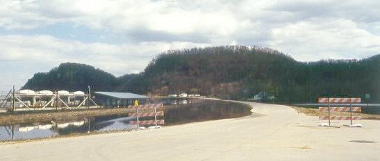
| Flooding along Iowa 26 north of Lansing. | 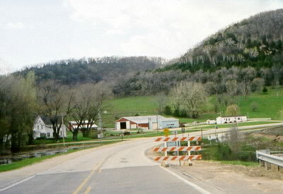
|
The road from Lansing to Harpers Ferry had been underwater.
Top | Go Downriver | Go Upriver | Home
This page maintained by Alan Draves.